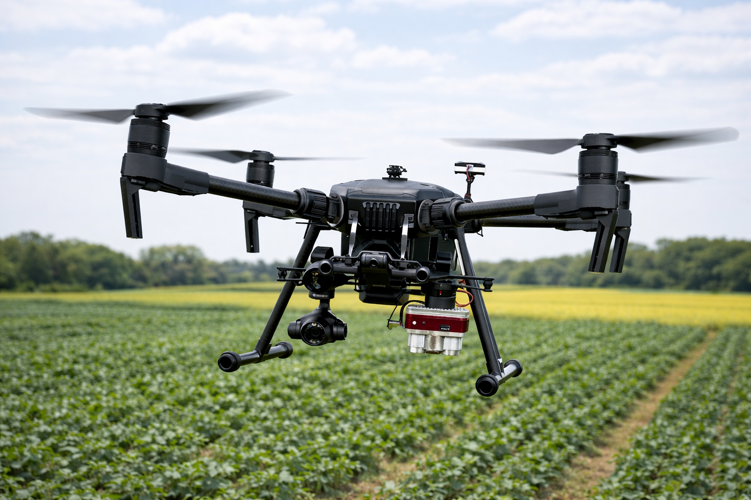
Remote Sensing
Use of diverse sensing platforms—including drones (UAVs), satellites, and handheld sensors—for crop monitoring and spatial analysis. Applications include multispectral mapping, vegetation indices, stress detection, and field variability assessment.
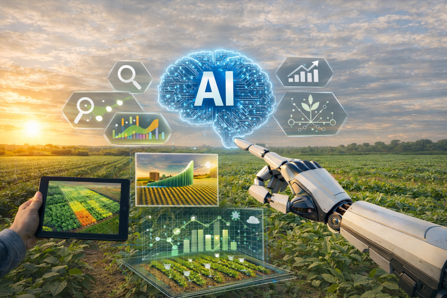
Artificial Intelligence
Application of artificial intelligence and machine learning techniques for data analysis, pattern recognition, and the development of predictive models supporting yield estimation, crop quality assessment, and management decisions.
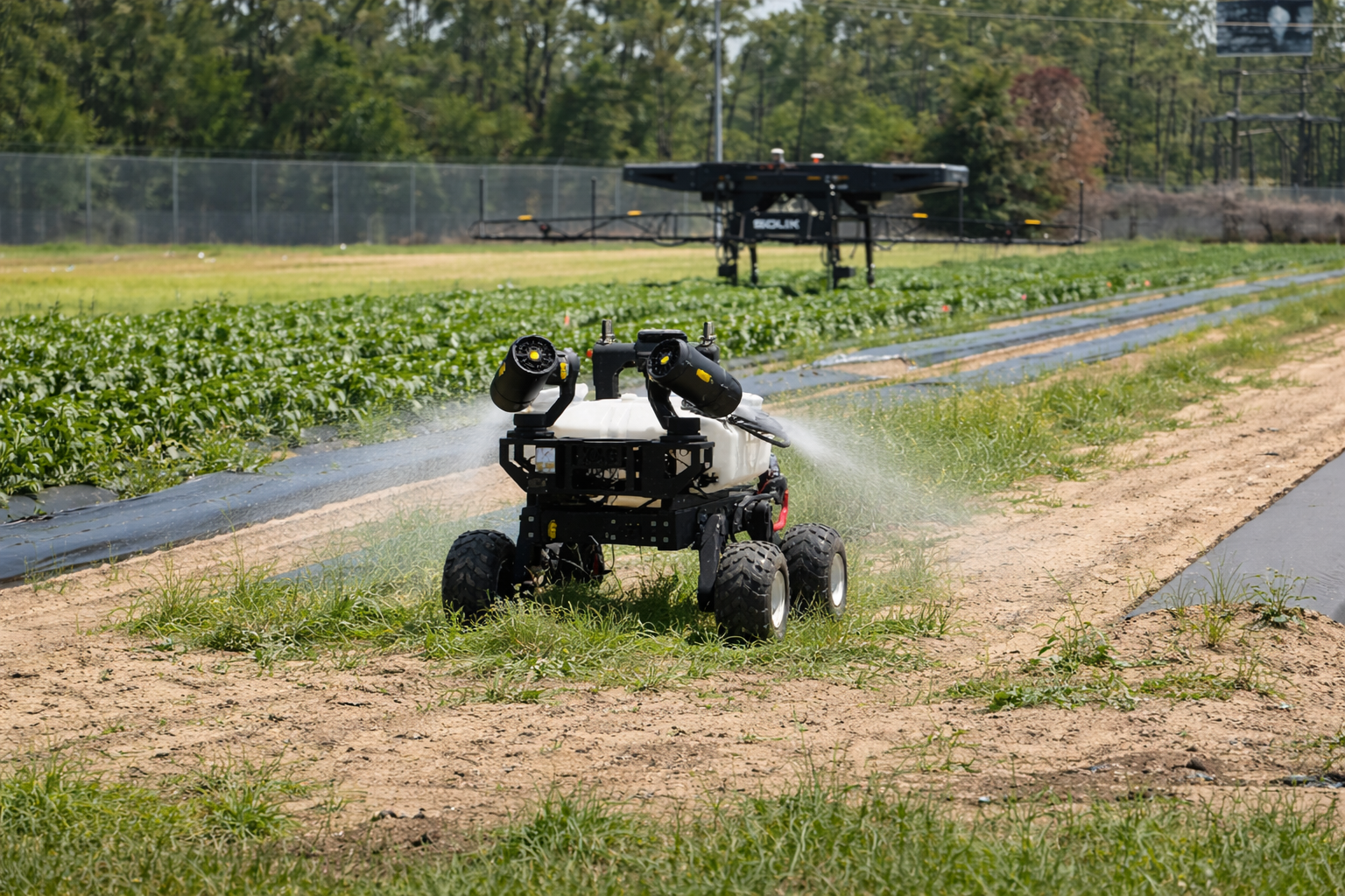
Robotics
Development and implementation of robotic systems for agricultural applications, including automated data collection, crop monitoring, and site-specific crop management operations.
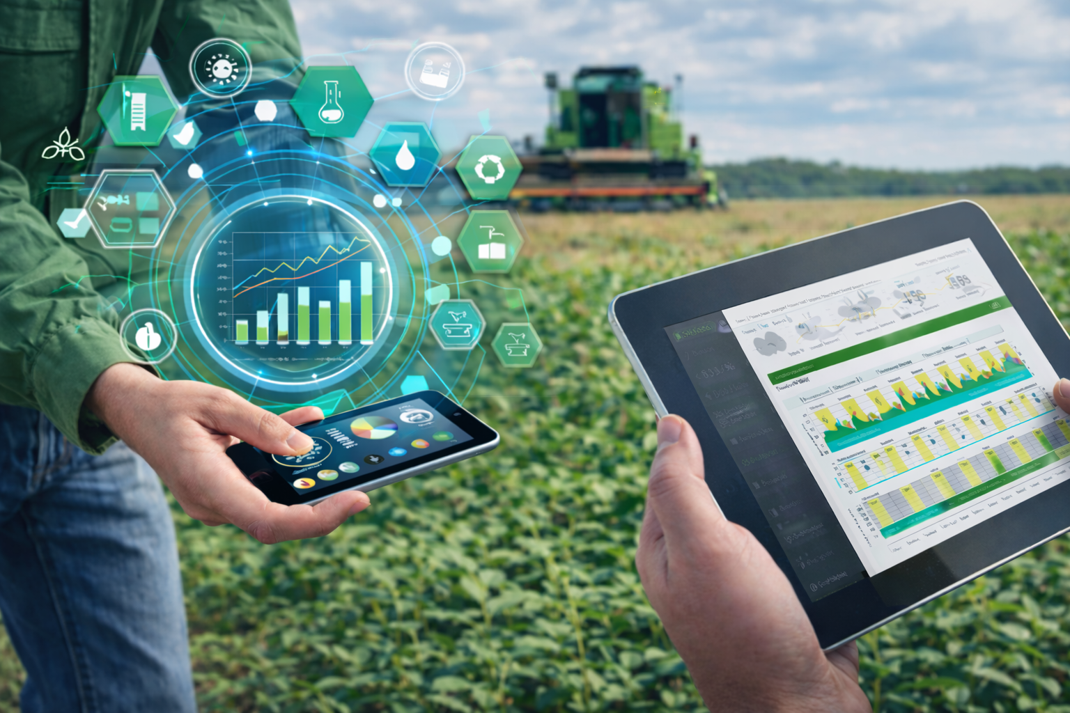
Decision Support Systems
Design and implementation of intuitive, user-friendly decision support systems (DSSs) that enable stakeholders to visualize complex datasets and make informed, timely, and data-driven management decisions.